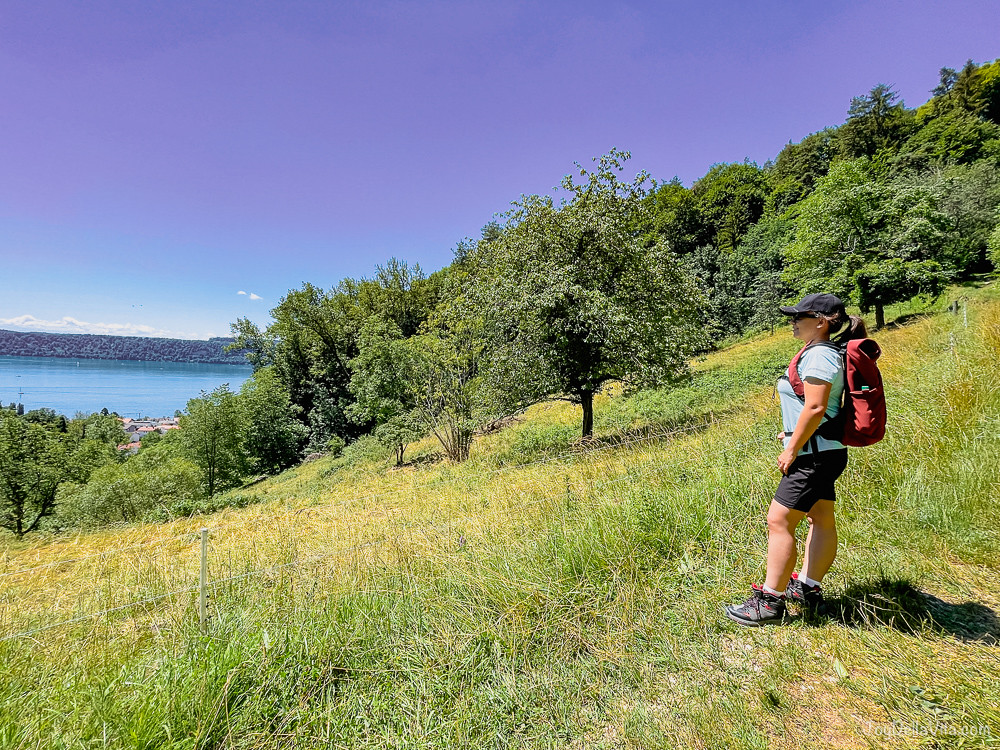
This Lake Constance Hiking Route from Sipplingen to Überlingen via Haldenhof will reward you with some of the most stunning views of all the Lake Constance area. The first kilometre of the hike is the most intense one, as you quickly go up for about 400 metres in height. The following about 10 kilometres will grant you some of the best views on the Lake as a nice reward. This hiking route is not really suitable for young children, as the paths are sometimes quite uneven with roots sticking from the ground and narrow paths along meadows with flowers, where the steep abyss is not super recognisable for youngsters. Other than that, adults can have a blast on this route, immerse in the true beauty of nature and take plent of pictures and selfies.
Panoramic Lake Constance hiking route from Sipplingen to Überlingen via Haldenhof
Find here helpful information for this truly stunning panoramic Lake Constance hiking route! If you have further questions, just comment them below and I will get back to you asap! You might also want to check out my Lake Constance Travel Guide and other Hiking Routes in central Europe.
How to arrive to Sipplingen and Überlingen at Lake Constance
Its best to arrive by public transportation, as this is not a circular hiking route. I can best recommend the regional trains passing by hourly from Radolfszell to Friedrichshafen and return. This train stops at both Sipplingen and Überlingen and Überlingen Therme, giving you maximum freedom and an easy shedule to keep in mind. For sure you can also park nearby Radolfszell train station, and take a train back after your hike form Überlingen to reach your car or camper again. Those are either Parkplatz P 2 Bahnhof or Parkplatz P 1 West (click to display each location on Google Maps). Those are not free parking areas, there are ticket machines on site!
Map for this walking / hiking Route
You can also access this route via Outdoor Active, by clicking on the image below or here: this hiking route on outdooractive.
https://www.outdooractive.com/de/embed/244901367/js?mw=false
[googlemaps https://www.google.com/maps/embed?pb=!1m68!1m12!1m3!1d26165.37806153431!2d9.106697736129597!3d47.78601525364188!2m3!1f0!2f0!3f0!3m2!1i1024!2i768!4f13.1!4m53!3e2!4m5!1s0x479a5e746f15e4b3%3A0xf7130938659037bc!2sSipplingen%2C%2078354%20Sipplingen!3m2!1d47.795587!2d9.095524!4m3!3m2!1d47.8020201!2d9.089574599999999!4m3!3m2!1d47.8038947!2d9.0940876!4m5!1s0x479a5de6f2dd159d%3A0x324b5b39410f6f91!2sH%C3%B6hengasthaus%20Haldenhof!3m2!1d47.80639!2d9.09198!4m5!1s0x479a5df07e60623d%3A0xb75738fb62b0b07a!2sAussichtspunkt%20am%20Geologischen%20Lehrpfad!3m2!1d47.8056816!2d9.099844899999999!4m3!3m2!1d47.7918613!2d9.1229211!4m5!1s0x479a5f0b56372343%3A0xf250aa25c1b714ff!2zRmlkZWxpc2jDtmhlLCBIw7ZkaW5nZW4!3m2!1d47.7836284!2d9.1260421!4m5!1s0x479a5fdbd5003a47%3A0xfccd129e5d468692!2sKatharinenfelsen!3m2!1d47.782406599999995!2d9.1272041!4m3!3m2!1d47.777161799999995!2d9.1305138!4m5!1s0x479a5932722786a5%3A0xfe922232e3cb59ac!2s%C3%9Cberlingen%20Seepromenade%20vor%E2%80%A6!3m2!1d47.7652084!2d9.1610105!5e1!3m2!1sde!2sde!4v1656253962595!5m2!1sde!2sde&w=600&h=450]
access it directly via Google Maps here: goo.gl/maps/BbdSc8Fg12B2AepFA
my pictures and directions for this Sipplingen to Überlingen via Haldenhof hiking route
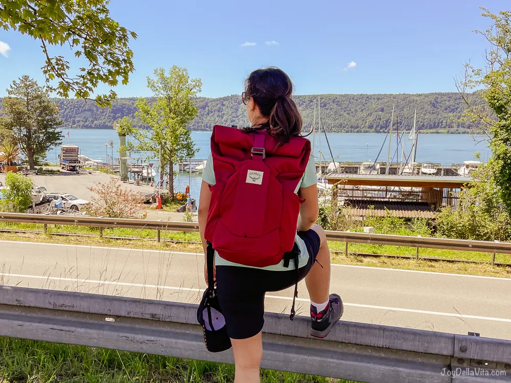
Find here directions for this hiking route from Sipplingen to Überlinen via Haldenhof, for some of the most stunning panoramic views of the whole Lake Constance area. After your arrival to Sipplingen train station, its just a small single track station, head west towards the parking spots near the free public beach. Walk towards Haldenhof, passing by the Geological nature trail Sipplingen. Personally we did a quick stop at the Haldenhof Restaurant for refreshments. The final meters are quite tough if you keep on walking… But now you have just accomplished the tough part and are at the highest point of this hike from Sipplingen to Überlingen via Haldenhof, now you are steadily walking in a light decline until Überlingen. Almost a walk in the park now, but with some of the most stunning views.
 //embedr.flickr.com/assets/client-code.js
 //embedr.flickr.com/assets/client-code.js
 //embedr.flickr.com/assets/client-code.js
 //embedr.flickr.com/assets/client-code.js
 //embedr.flickr.com/assets/client-code.js
 //embedr.flickr.com/assets/client-code.js
 //embedr.flickr.com/assets/client-code.js
 //embedr.flickr.com/assets/client-code.js
 //embedr.flickr.com/assets/client-code.js
 //embedr.flickr.com/assets/client-code.js
 //embedr.flickr.com/assets/client-code.js
 //embedr.flickr.com/assets/client-code.js
 //embedr.flickr.com/assets/client-code.js
 //embedr.flickr.com/assets/client-code.js
 //embedr.flickr.com/assets/client-code.js
 //embedr.flickr.com/assets/client-code.js
 //embedr.flickr.com/assets/client-code.js
 //embedr.flickr.com/assets/client-code.js
 //embedr.flickr.com/assets/client-code.js
 //embedr.flickr.com/assets/client-code.js
 //embedr.flickr.com/assets/client-code.js





Leave a Reply